


The south shore guide · Episode one
Tottenville: the town the oyster built
Drive far enough down Hylan Boulevard and the island runs out. What is left at the bottom is a place that was rich before the rest of Staten Island was anything, that hosted one of the strangest meetings of the Revolution, and that has spent the last decade rebuilding its own shoreline.
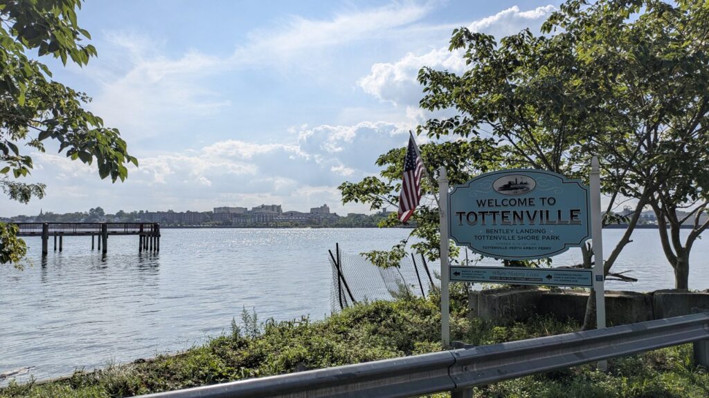
The end of the line, and the end of the state
Ward’s Point, at the bottom of Conference House Park, is the southernmost land in New York State. Not the southernmost point in the city, the southernmost in the state. Stand there and New Jersey is across the water at Perth Amboy, close enough to read the buildings.
Everything about how Tottenville feels comes back to that position. It is the end of the Staten Island Railway. It is a mile from the Outerbridge Crossing, which means New Jersey is closer than most of Staten Island. And it is surrounded on three sides by water, which is why the town got built in the first place and why it has had to be defended since.
- Zip code
- 10307
- Rail
- Last stop, 24 hours a day
- To St George
- About 40 minutes
- To New Jersey
- Outerbridge Crossing, about a mile
The town the oyster built
Before it was Tottenville it was Bentley Manor, named after a ship, and then Unionville. It took the Totten name in 1869, after a family that had been here since the seventeenth century as landowners, shipbuilders and civic figures.
What made the money was oysters. Through the nineteenth century this was a working waterfront: oystermen, shipwrights, boatyards. The housing stock still carries the shape of it. Tighter lots down near the water where the working houses went up, larger lots further up the hill where the people who owned the boats lived. You can still read the old class map in the lot sizes.
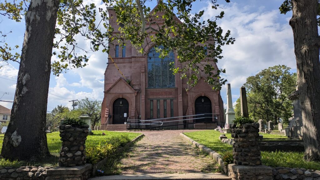
Then in 1898 the Atlantic Terra Cotta Works opened on the Arthur Kill shore and became the largest architectural terra cotta works in the world. If you have looked up at the Flatiron Building, the Woolworth Building or the Philadelphia Museum of Art, you have looked at something that came out of Tottenville.
Two industries, a century apart, both of them about what could be pulled out of the water or fired beside it. Neither of them survives. The houses they paid for do.
A house older than the country
The Conference House, long called the Billopp House, was built around 1680 and stands near Ward’s Point. On 11 September 1776, two months after the Declaration of Independence was signed, Admiral Lord Richard Howe met Benjamin Franklin, John Adams and Edward Rutledge in that house and tried to end the war before it properly started.
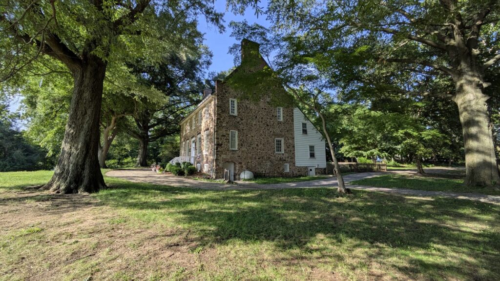
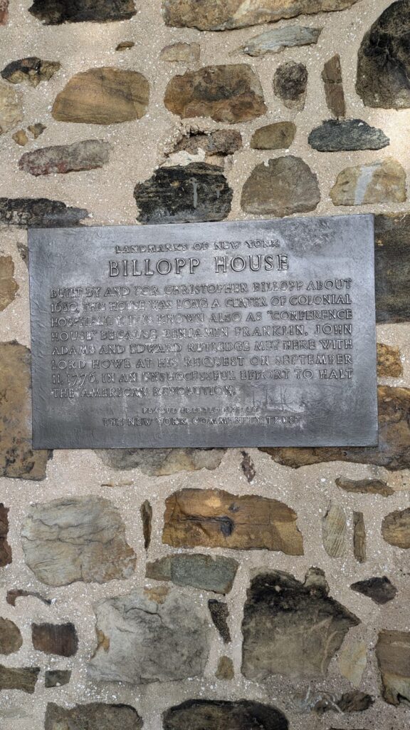
It lasted about three hours. Howe could offer pardons but not independence, and the Americans would not go back. Everyone went home and the war ran another seven years. It was the only face to face meeting between the two sides for the whole of it, and it happened at the bottom of Staten Island.
The house is open as a museum, and the park around it has a public beach and trails. It is a genuinely strange thing to have at the end of a residential street.
What happened to the shoreline
Hurricane Sandy came through this shoreline in 2012 and took a great deal of it. The answer, finished in October 2024, is a $111 million project called Living Breakwaters: eight structures, each about 400 feet long, 2,400 feet of breakwater in total, sitting offshore so that waves break on rock rather than on the beach.
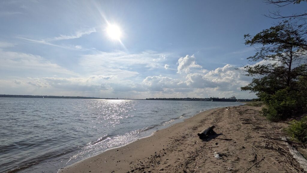
They are also being seeded with oysters, which is a neat piece of circularity for a town that was built on them. The first round of restoration finished in July 2025 and the second is expected in the summer of 2026.
Getting off the island
This is the part people ask about first, and the honest answer is that the commute is long but it is a seated commute. Tottenville is where the routes start rather than somewhere they pass through, so you board at the beginning.
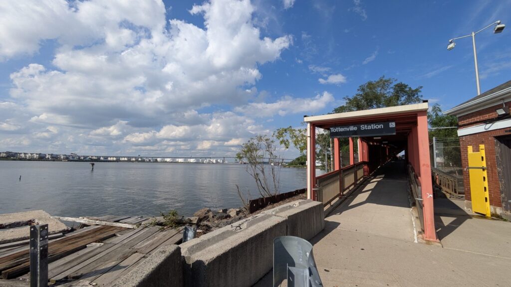
The Staten Island Railway ends here. It is the southernmost railway station in both the city and the state, it runs 24 hours a day, and St George is about 40 minutes up the line. From St George the ferry has been free since 4 July 1997 and takes about 25 minutes across to Lower Manhattan.
If you would rather not change, three express buses start here. The SIM2 runs to Lower Manhattan and finishes at Church and Worth Streets. The SIM25 and the SIM26 both run to Midtown. Express fares are higher than the local fare, which is worth knowing before you build a monthly budget around them.
What you actually buy here
Five broad types, inside one zip code.
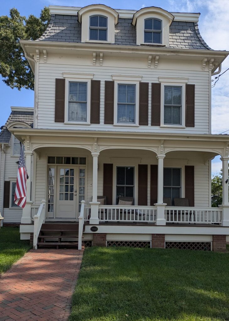
Victorians and frame houses, the oldest of the stock. Capes and colonials, which are the everyday middle of the market. Raised ranches on deep lots, and the lot depth is the thing worth paying attention to, because it is unusual for New York City. Semi-attached houses and townhouses, newer and generally the lower entry point. And a small number of waterfront condominiums with the beach across the road.
If you want to know what any of that costs today rather than in general, the current 10307 listings are the honest answer, and the Tottenville neighborhood page keeps the practical detail in one place.
Thinking about Tottenville
We are on the phone about this borough all day. If you are weighing the commute against the lot size, or wondering what the shoreline work means for a house near the water, ask us. No obligation and no pitch.
This is episode one of a guide to the south shore. Next up, the rest of the Staten Island neighborhoods, or browse the zip code map and how buying works here.
Sources: NYC Parks and the Historic House Trust on Conference House Park; New York State Homes and Community Renewal on Living Breakwaters; MTA for rail and express bus service. Nothing here is a valuation or an offer of representation.