
Tottenville, Staten Island
Neighborhood guide · 10307
Tottenville
Tottenville sits at the bottom of Staten Island, and at the bottom of New York State. Ward’s Point, inside Conference House Park, is the southernmost land in the state. Everything here runs from that fact: the long commute, the deep lots, the water on three sides.
- Zip code
- 10307
- Position
- Southernmost neighborhood in New York State
- Rail
- Last stop on the Staten Island Railway
- To St George
- About 40 minutes by rail
- To New Jersey
- Outerbridge Crossing, roughly a mile away
- Neighbors
- Pleasant Plains, Richmond Valley and Charleston
Getting off the island
Tottenville is where the routes begin rather than where they pass through, which is the practical difference between a long commute and an unpleasant one. You board at the start, so you get a seat.
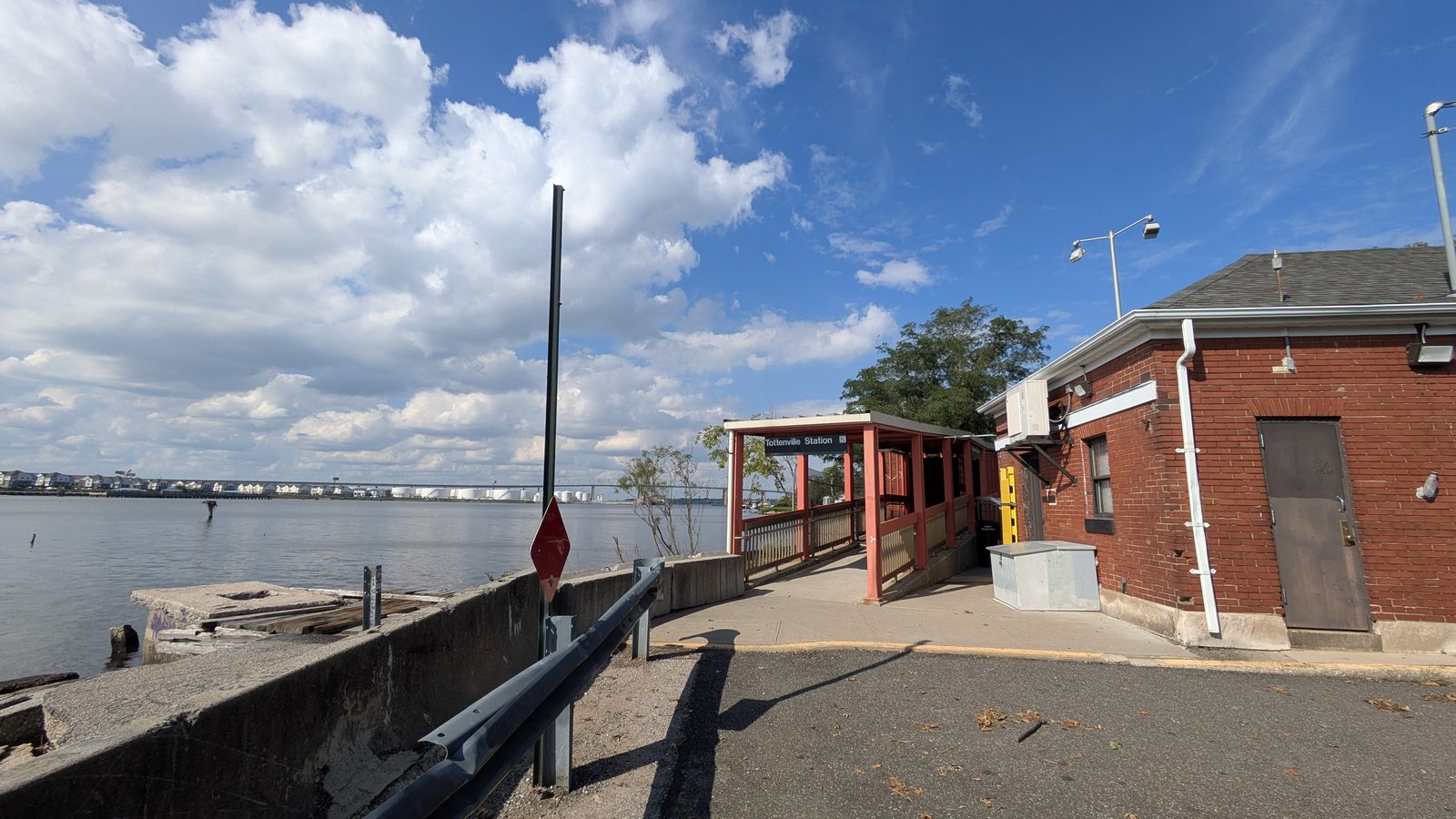
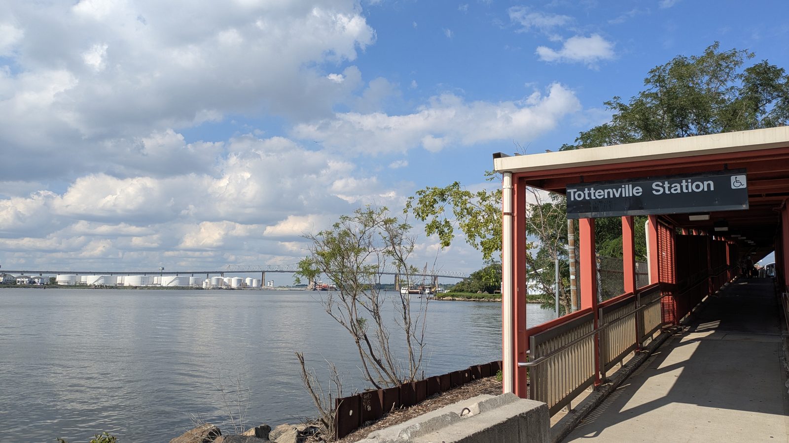
- Staten Island Railway. Tottenville is the southern terminus, and the southernmost railway station in both New York City and New York State. The line runs 24 hours a day, and St George is about 40 minutes away.
- The ferry. Free since 4 July 1997, and about 25 minutes across to Lower Manhattan.
- Express buses. Three routes start in Tottenville. The SIM2 runs to Lower Manhattan, ending at Church and Worth Streets. The SIM25 and the SIM26 both run to Midtown. Express fares are higher than the local fare.
- By car. The Outerbridge Crossing is roughly a mile away, which puts New Jersey closer than most of Staten Island.
What the housing looks like
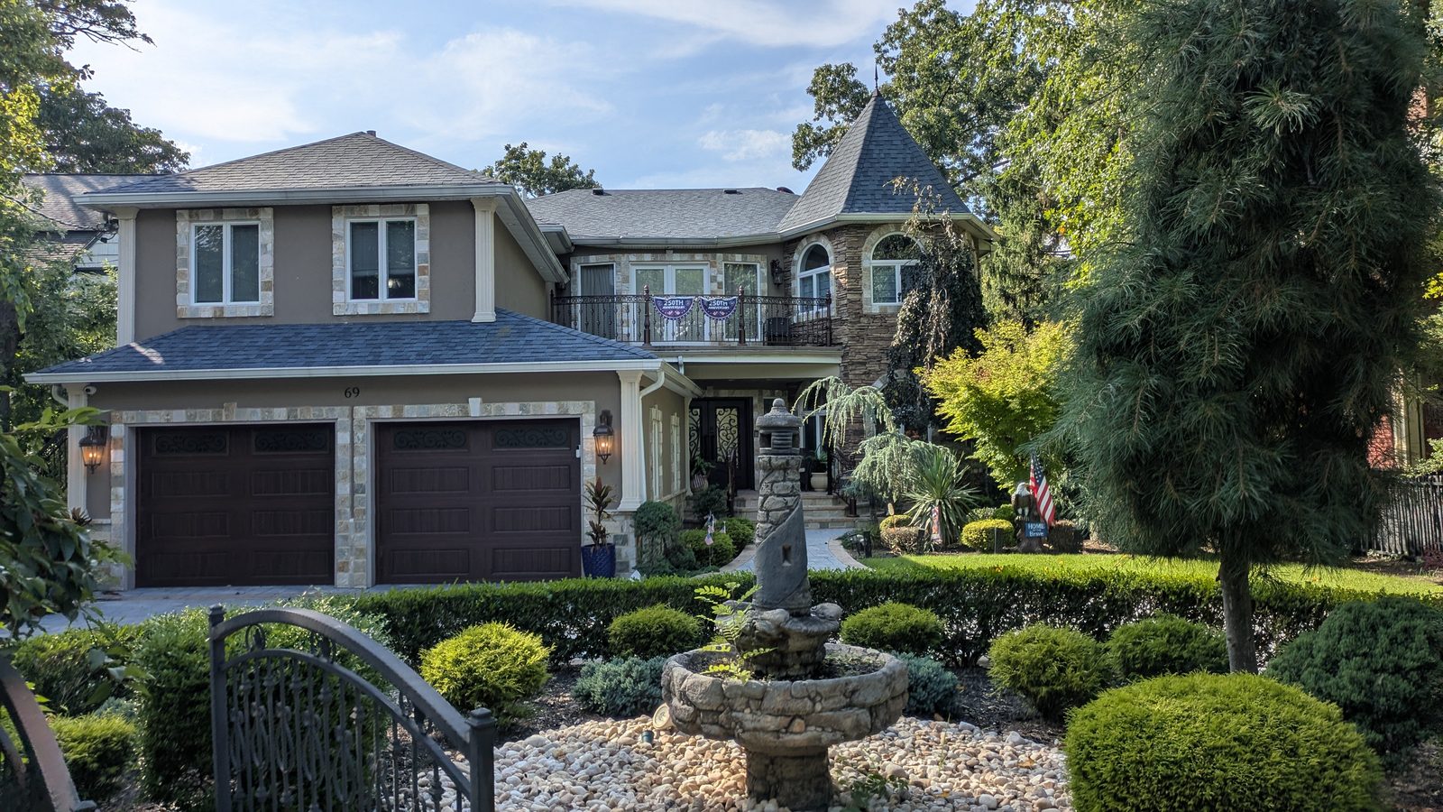
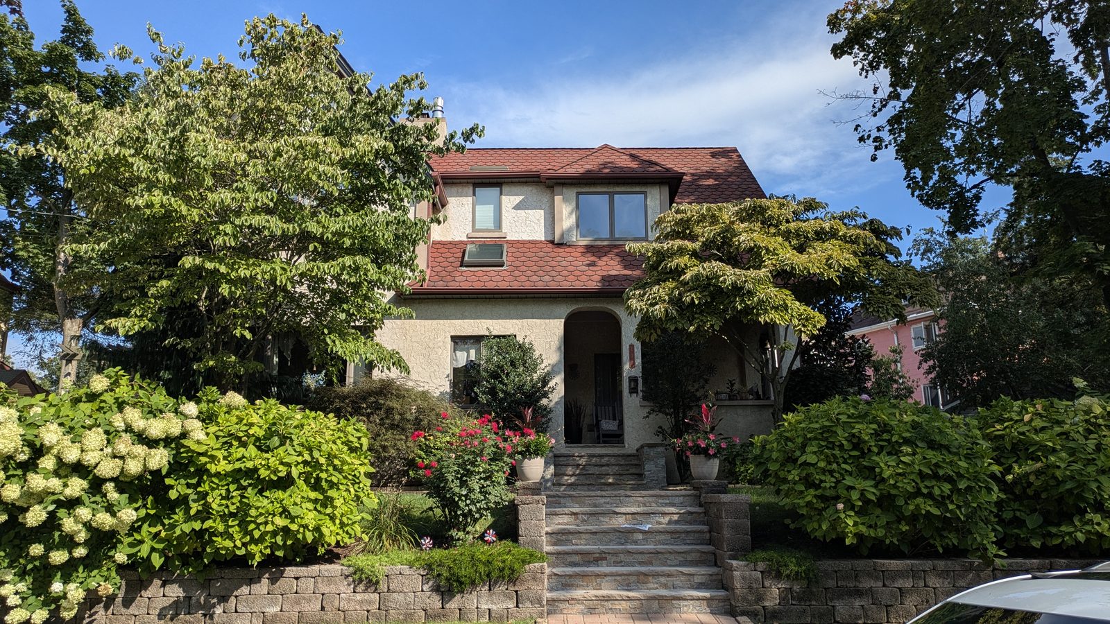
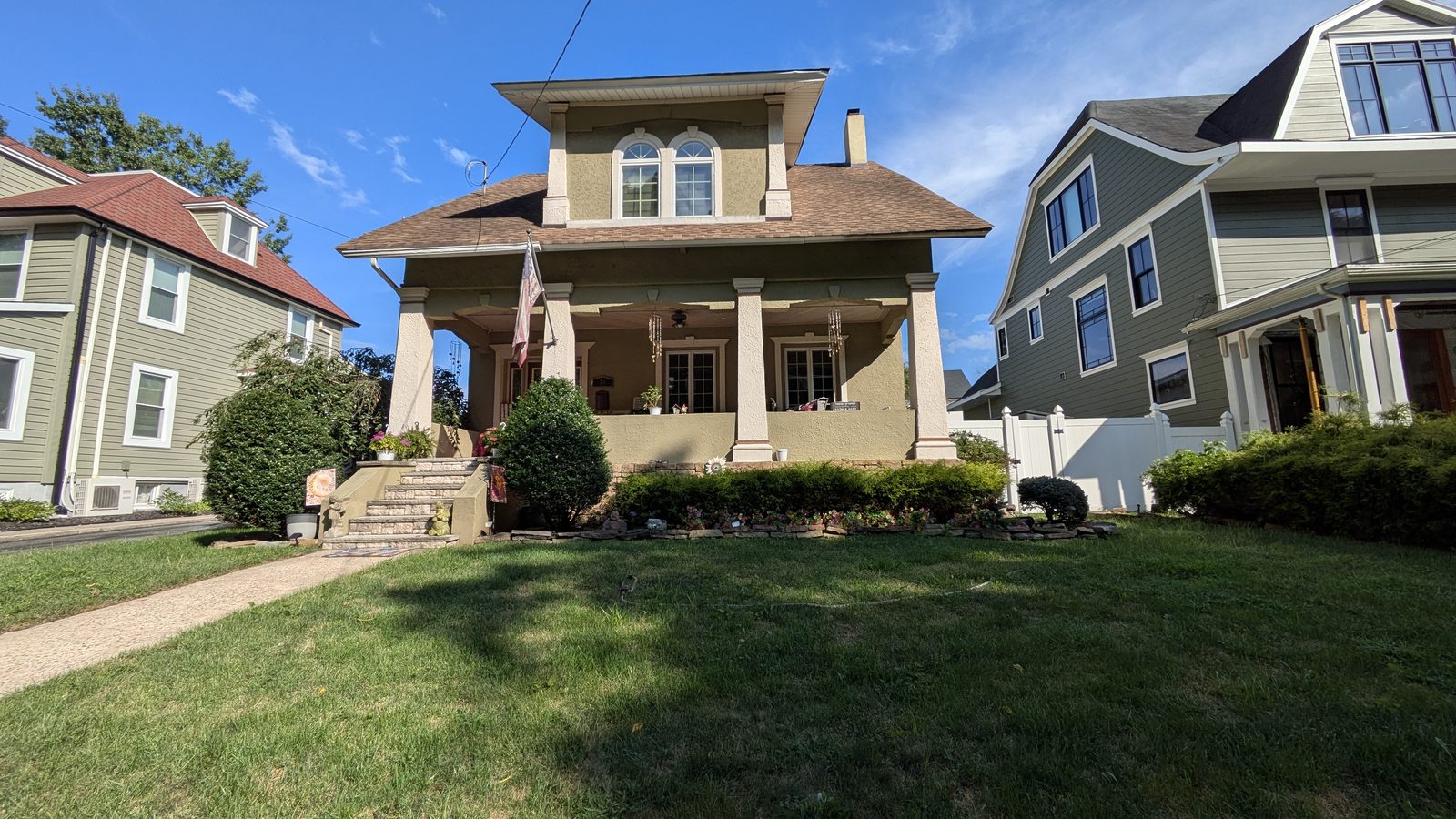
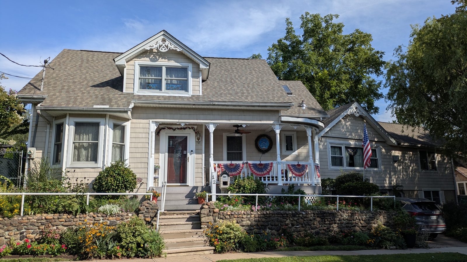
Five broad types, inside one zip code. The pattern is inherited: tighter lots near the water where the working houses went up, larger lots further up the hill.
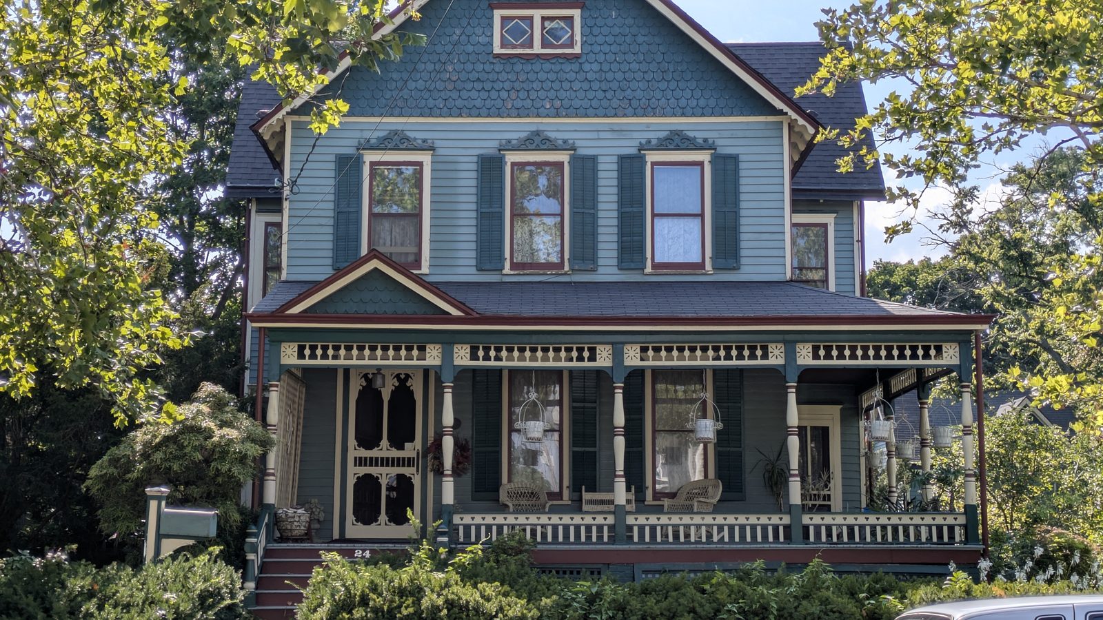
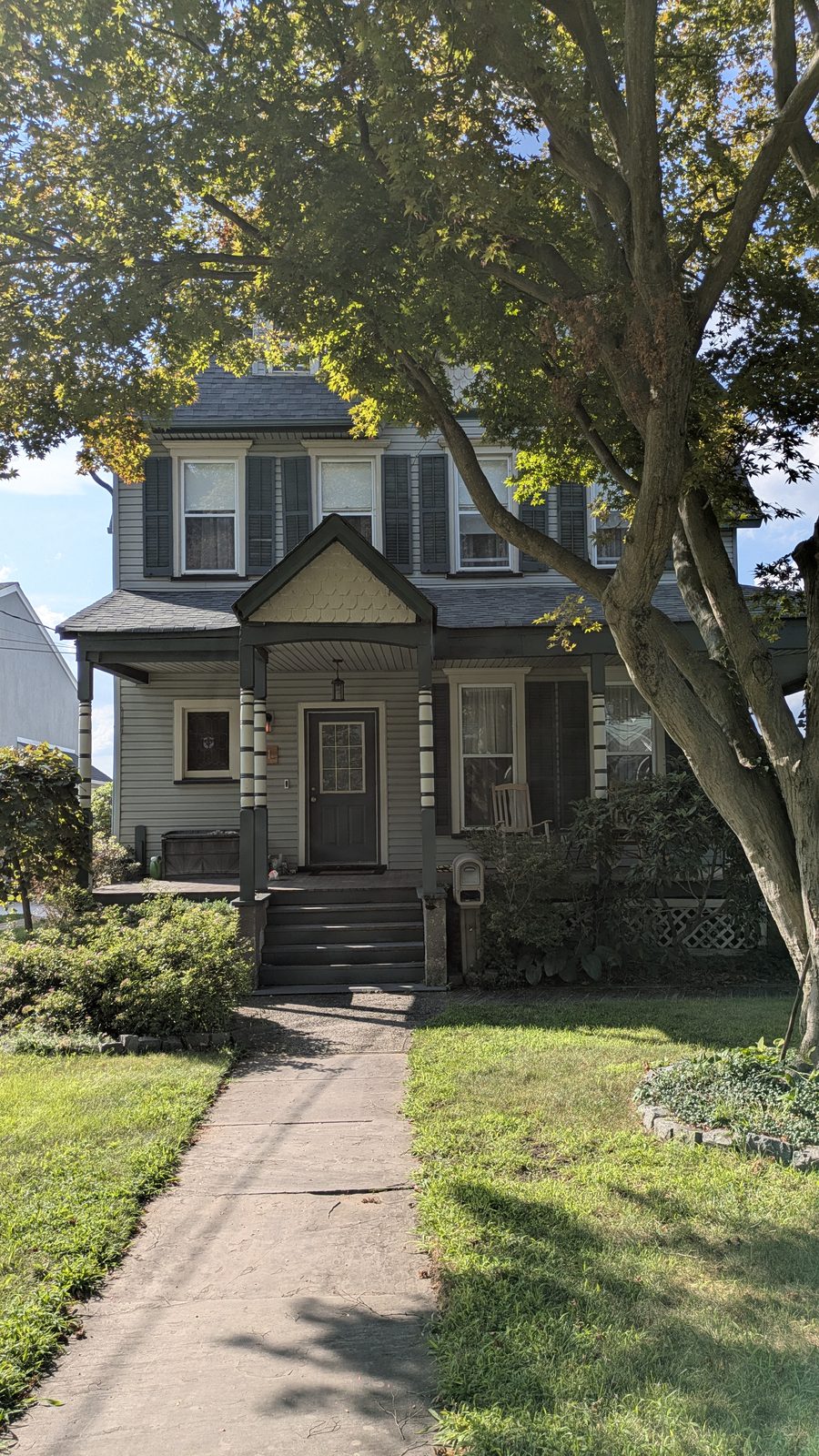
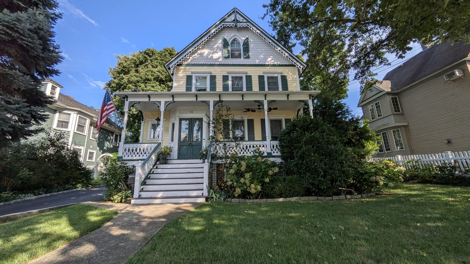
- Victorians and frame houses. The oldest of the stock, much of it built while the oyster trade was still running.
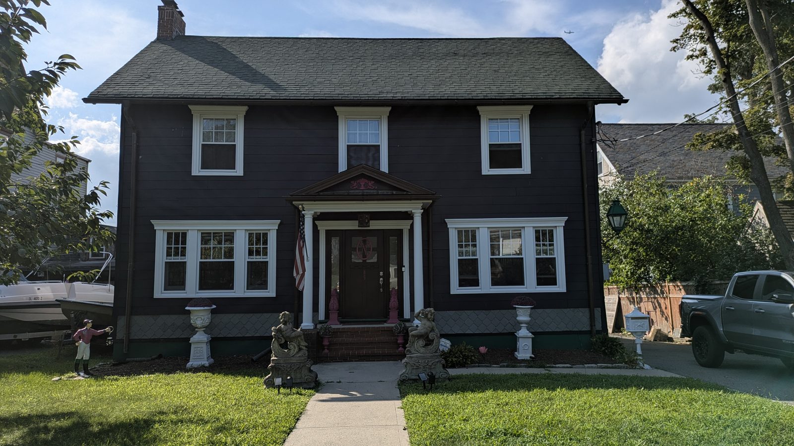
- Capes and colonials. The everyday middle of the market here.
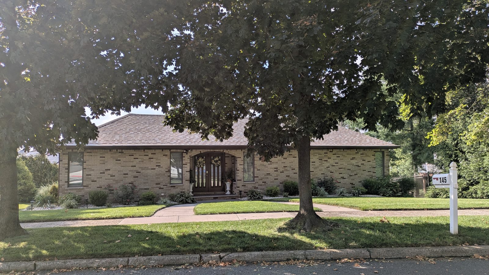
- Raised ranches on deep lots. Lot depth is the thing worth noticing. It is unusual for the city.
- Semi-attached houses and townhouses. Newer, and generally the lower entry point.
- Waterfront condominiums. A small number, with the beach across the road.
A house older than the country
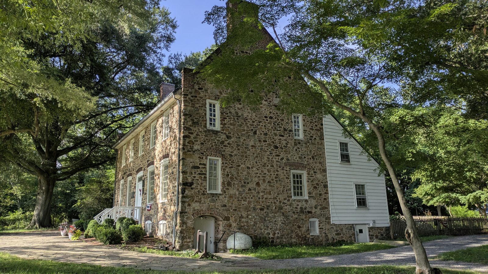
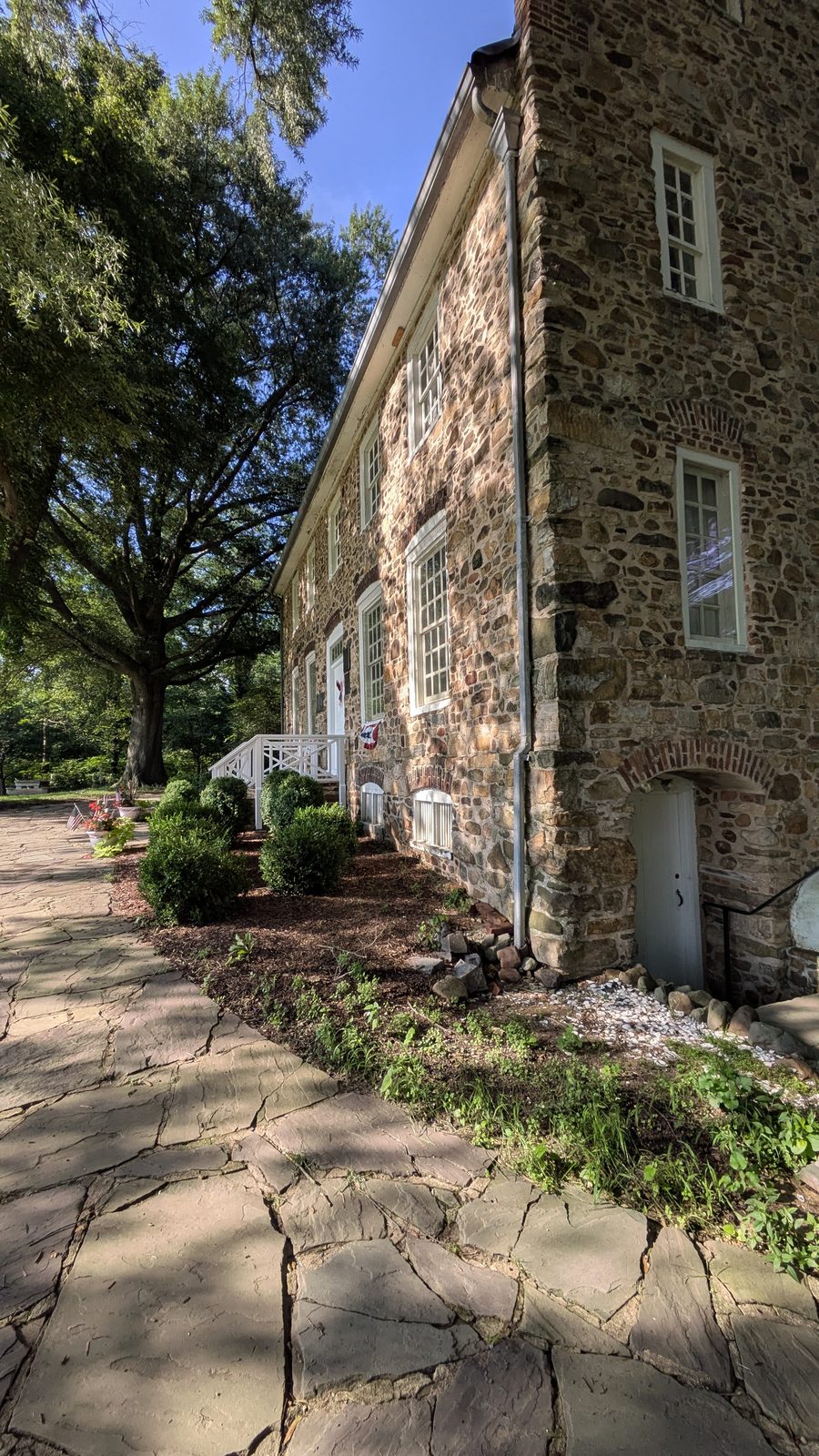
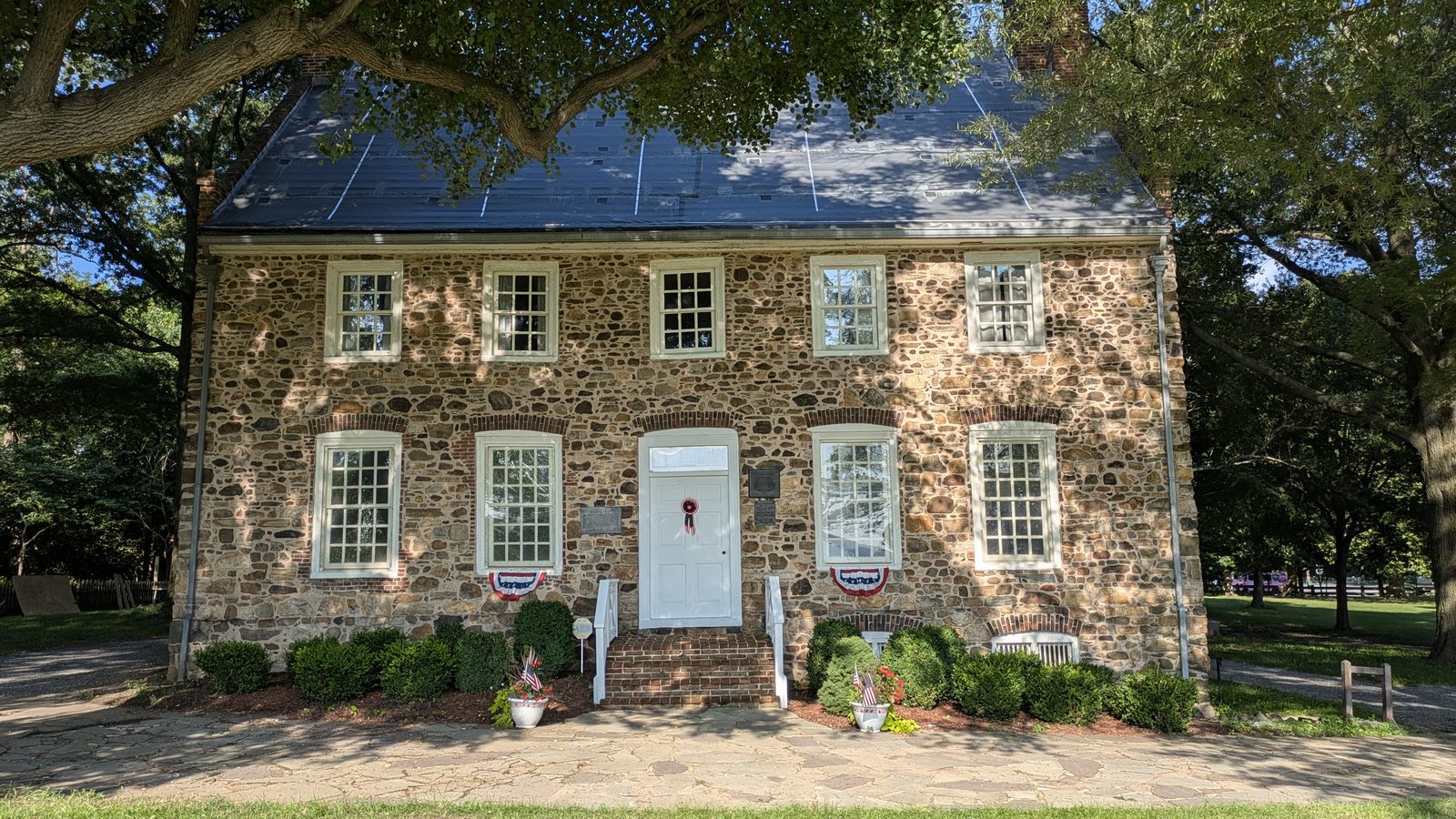
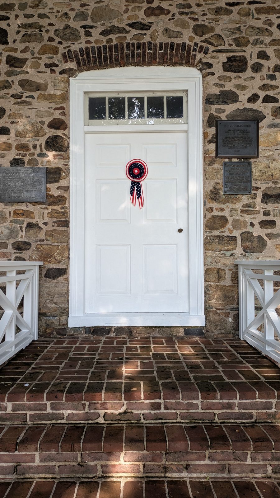
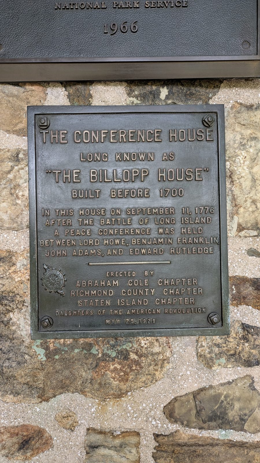
The Conference House, long known as the Billopp House, was built around 1680 and stands near Ward’s Point. On 11 September 1776, two months after the Declaration of Independence, Admiral Lord Richard Howe met Benjamin Franklin, John Adams and Edward Rutledge there to try to end the war. It lasted about three hours and settled nothing, and it was the only face to face meeting between the two sides for the whole of the war.
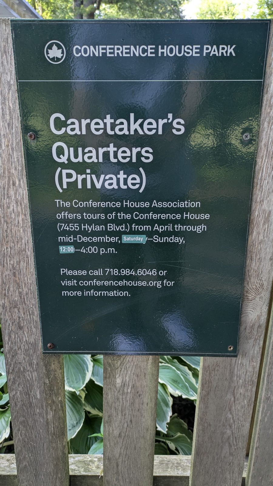
The house is still standing and open as a museum, inside Conference House Park, with a public beach and trails around it.
The full story, including what the oyster trade and Atlantic Terra Cotta left behind, is in our guide to Tottenville.
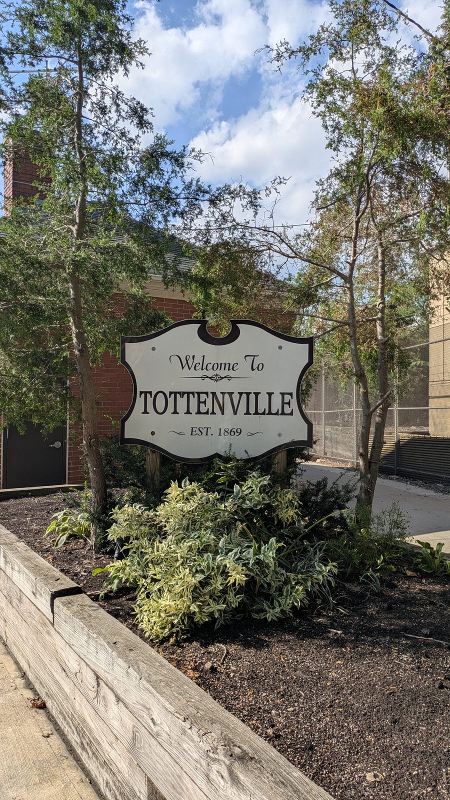
The town the oyster built. Tottenville grew on the water. Oystering, shipbuilding and boatyards through the nineteenth century, then Atlantic Terra Cotta from 1898, which became the largest architectural terra cotta works in the world and supplied the Flatiron Building, the Woolworth Building and the Philadelphia Museum of Art. The settlement was called Bentley Manor, then Unionville, and took the name Tottenville in 1869 after the Totten family.
The shoreline is being rebuilt
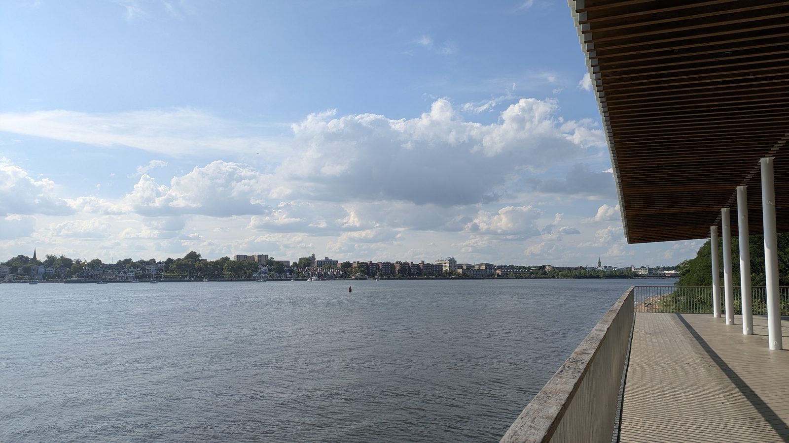
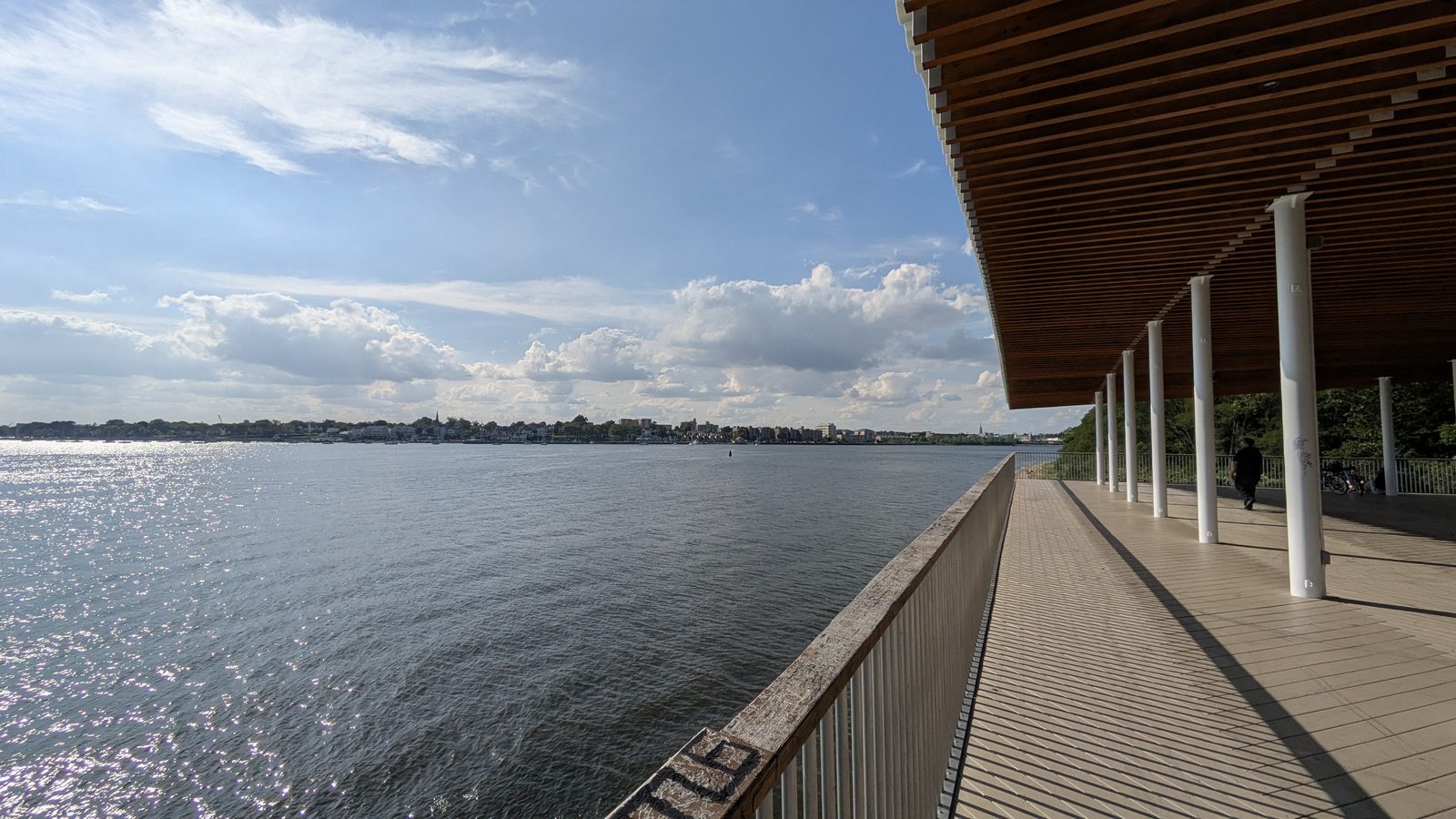
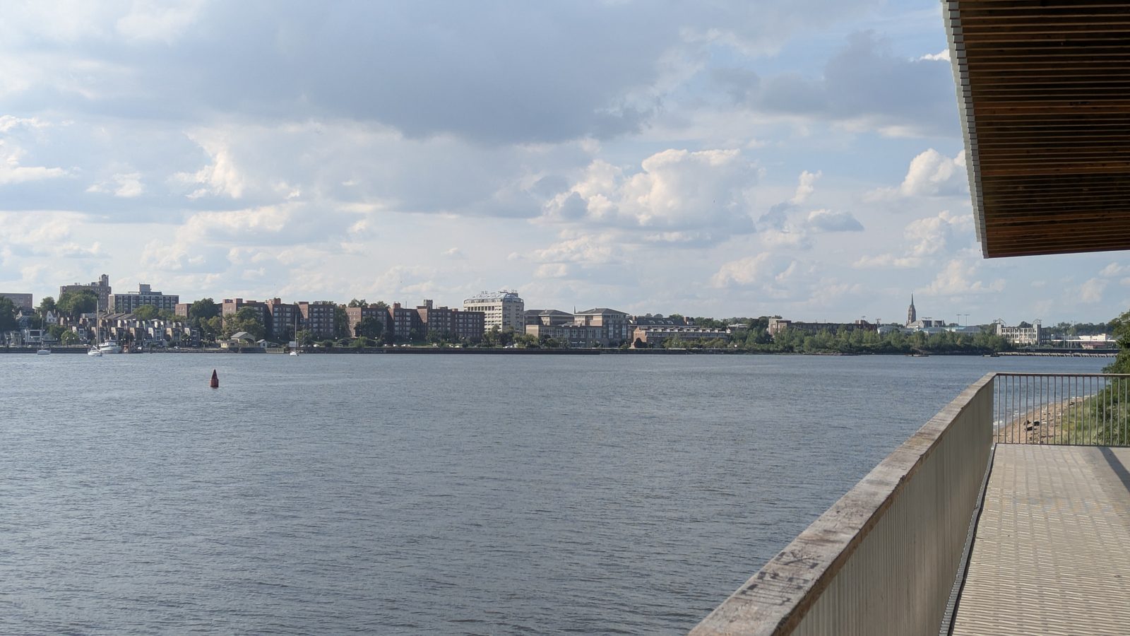
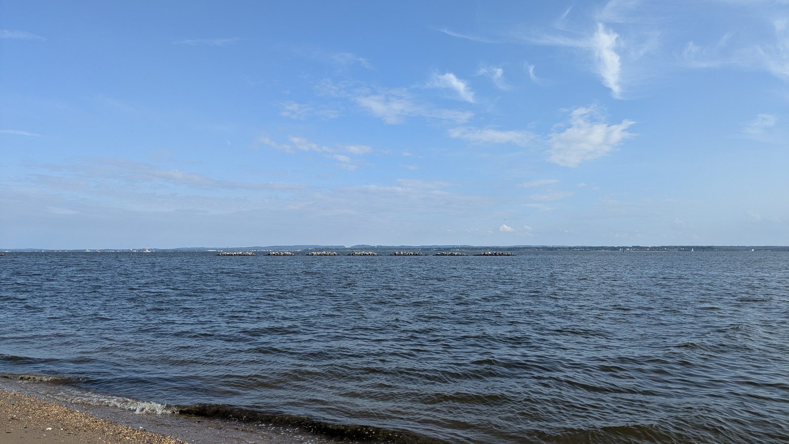
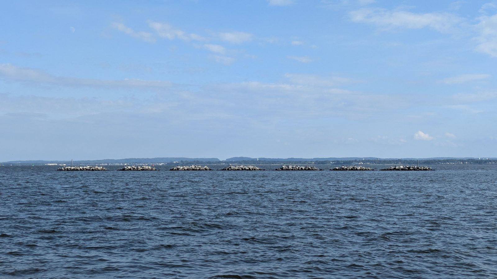
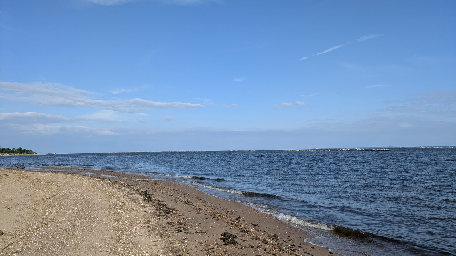
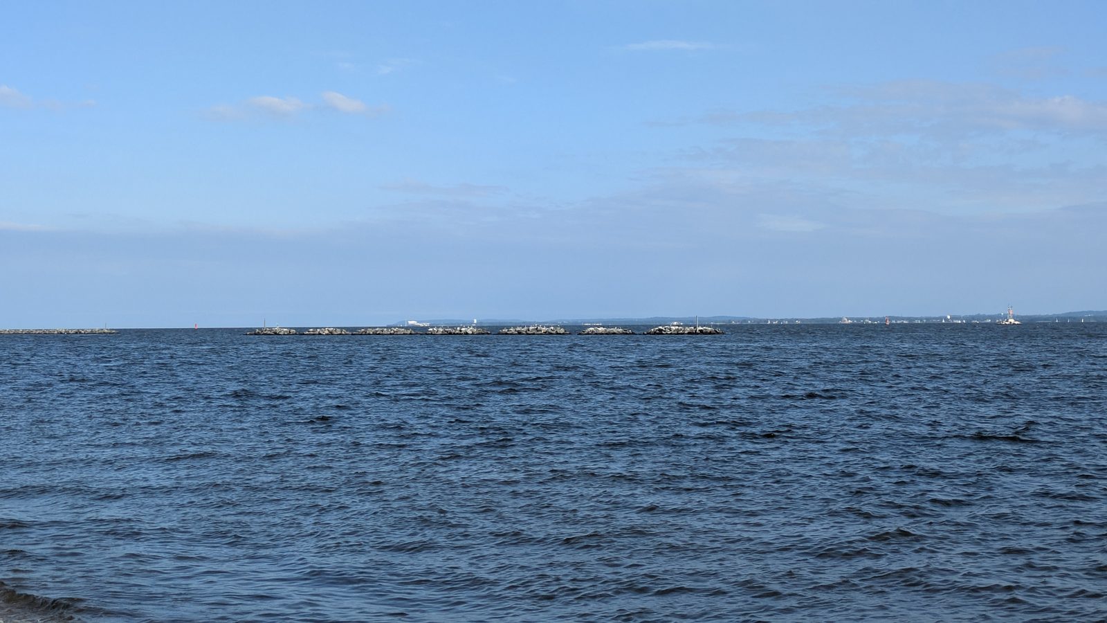
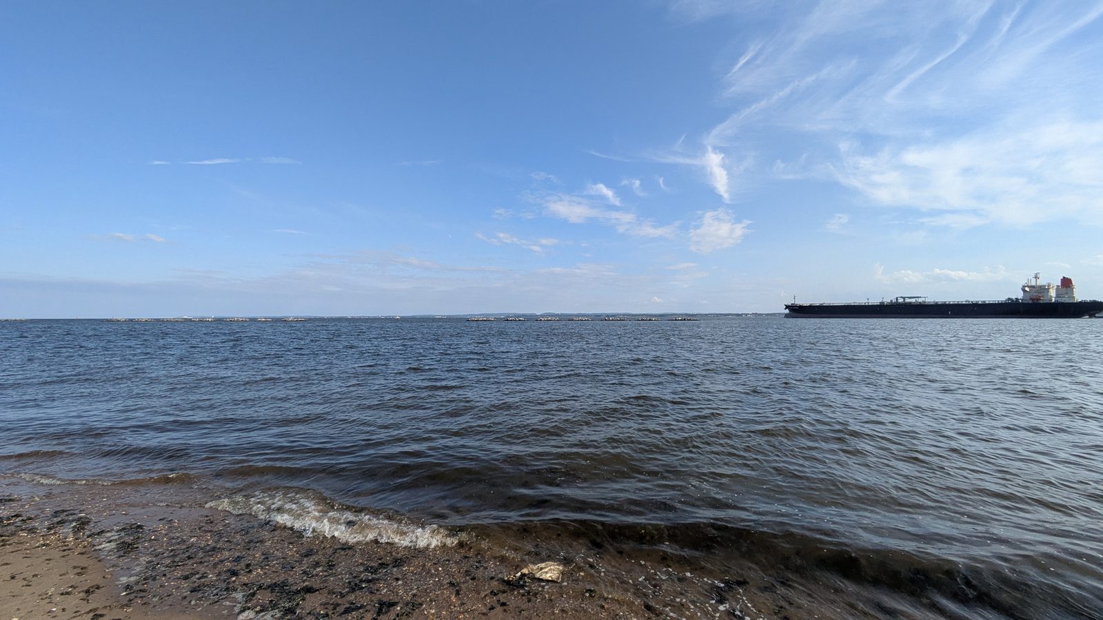
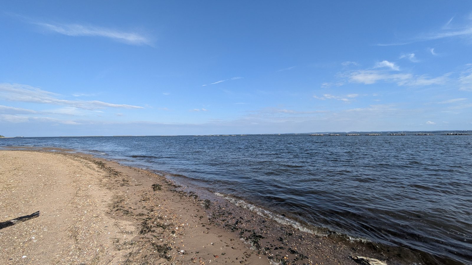
Hurricane Sandy tore through this shoreline in 2012. The answer was Living Breakwaters, a $111 million project completed in October 2024: eight structures, each about 400 feet long, 2,400 feet of breakwater in total, sitting offshore so the waves break on rock instead of on the beach. Oyster restoration is still going, with the first round finished in July 2025 and the second expected in summer 2026.
Sources: NYC Parks, the Historic House Trust, NYS Homes and Community Renewal on Living Breakwaters, and MTA for rail and express bus service. Market conditions change; nothing here is a valuation.
← Staten Island neighborhoods we workTottenville Gallery
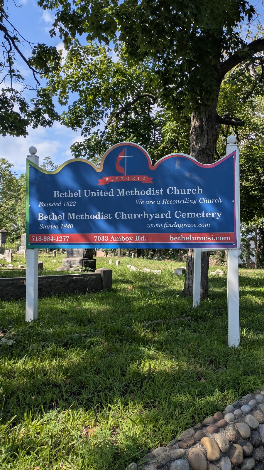
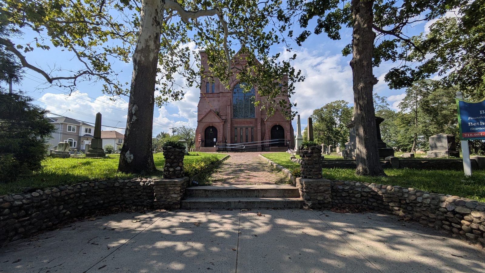
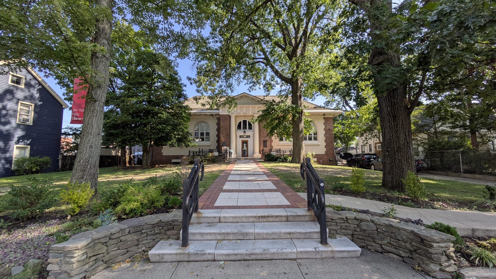
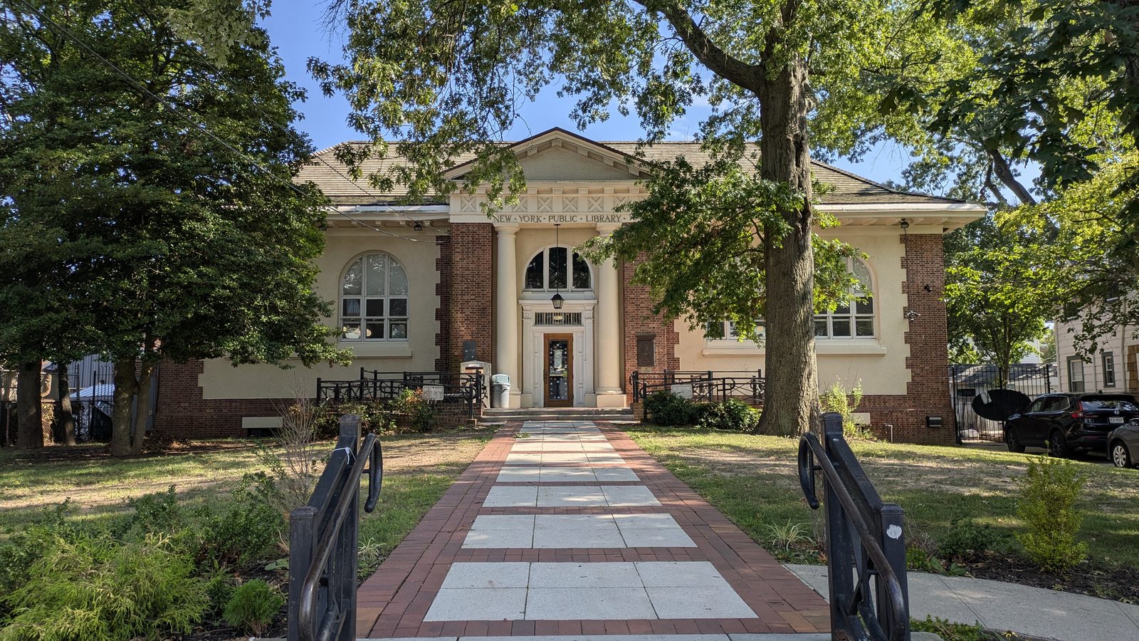
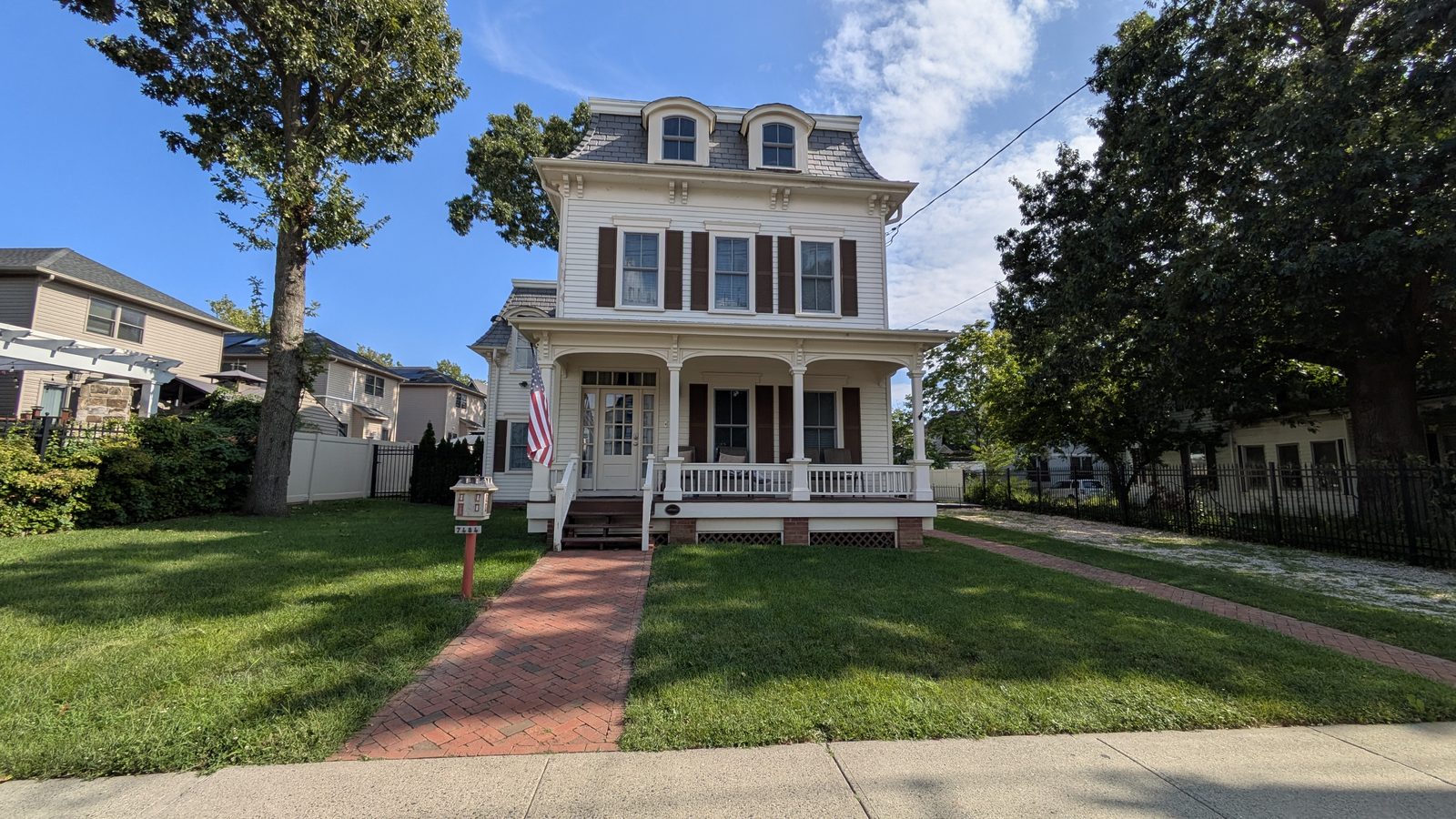
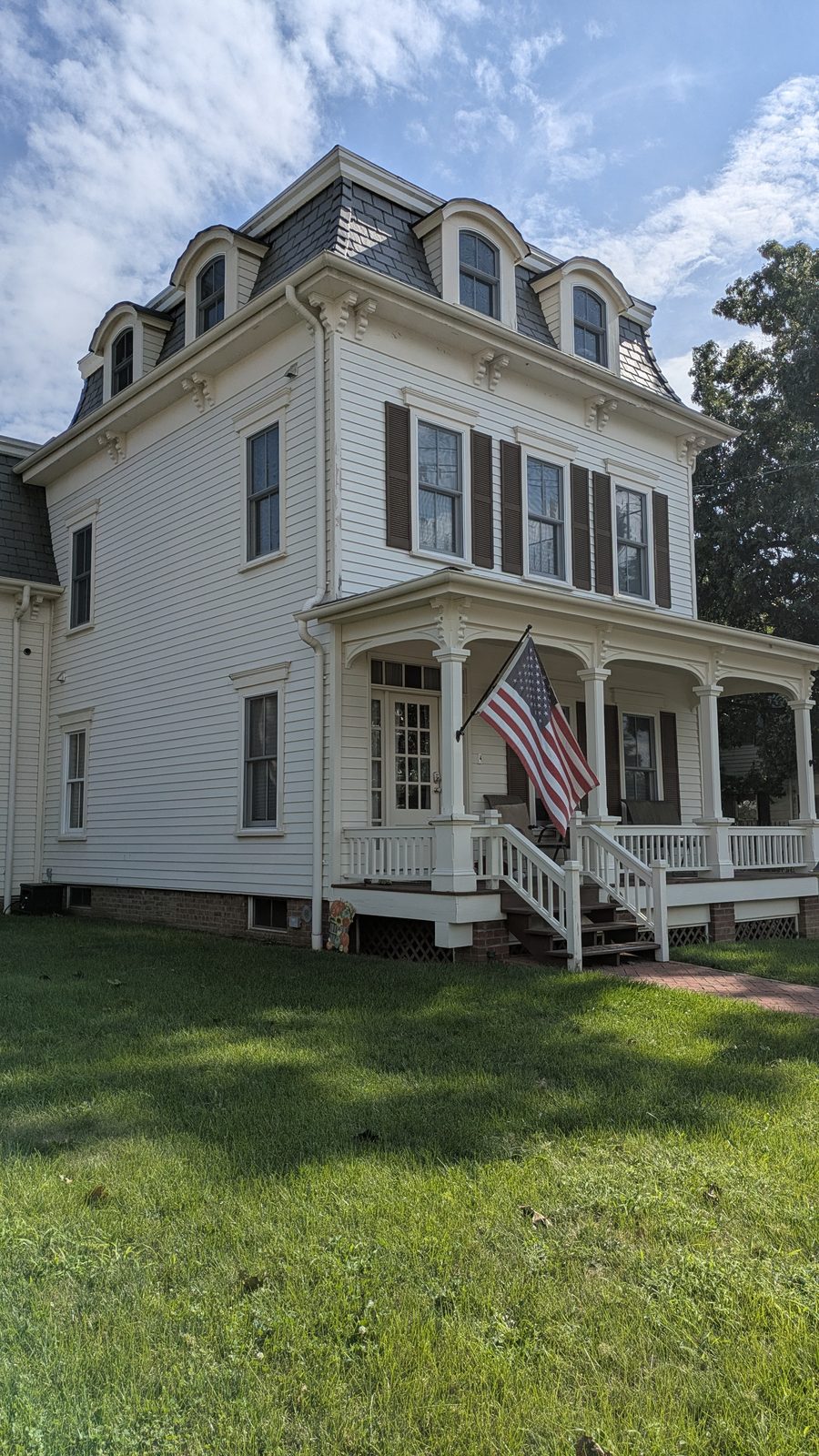
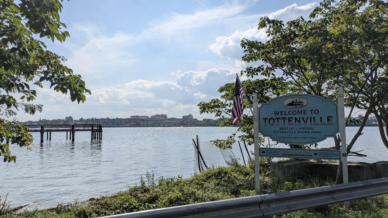
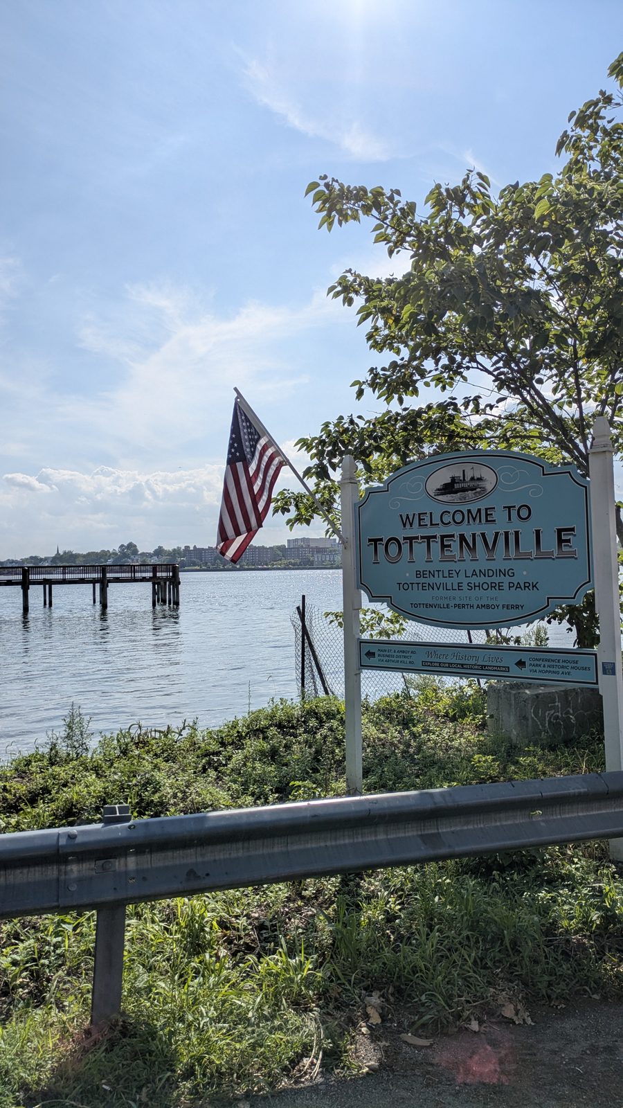
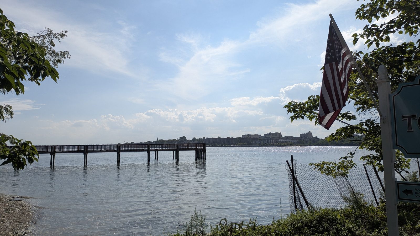
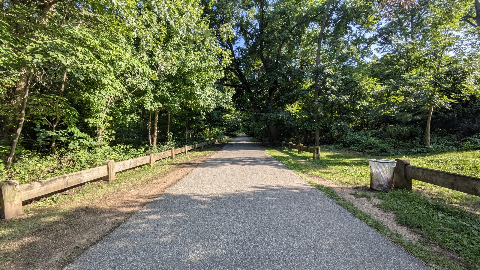
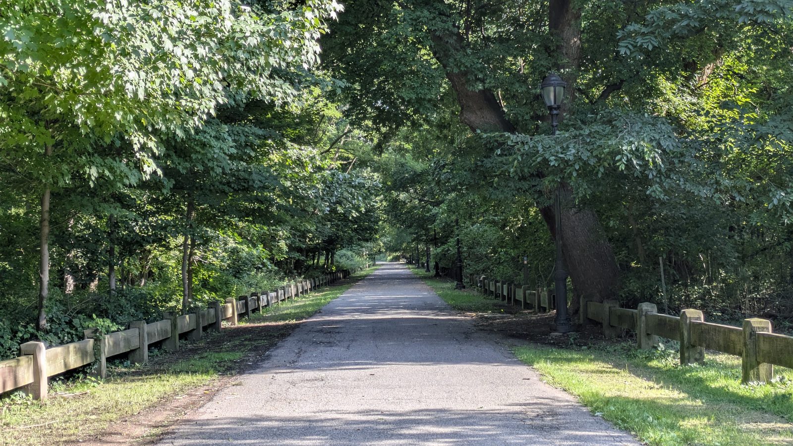
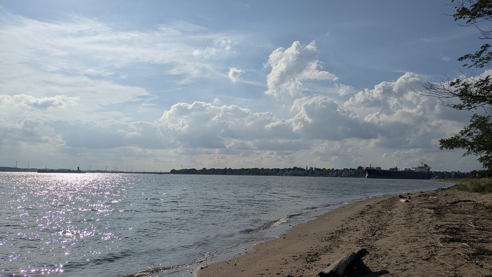
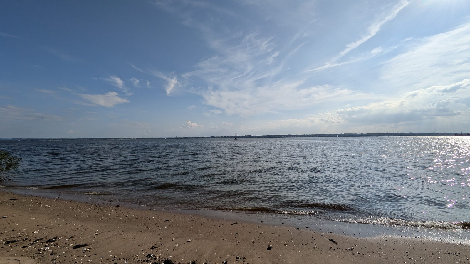
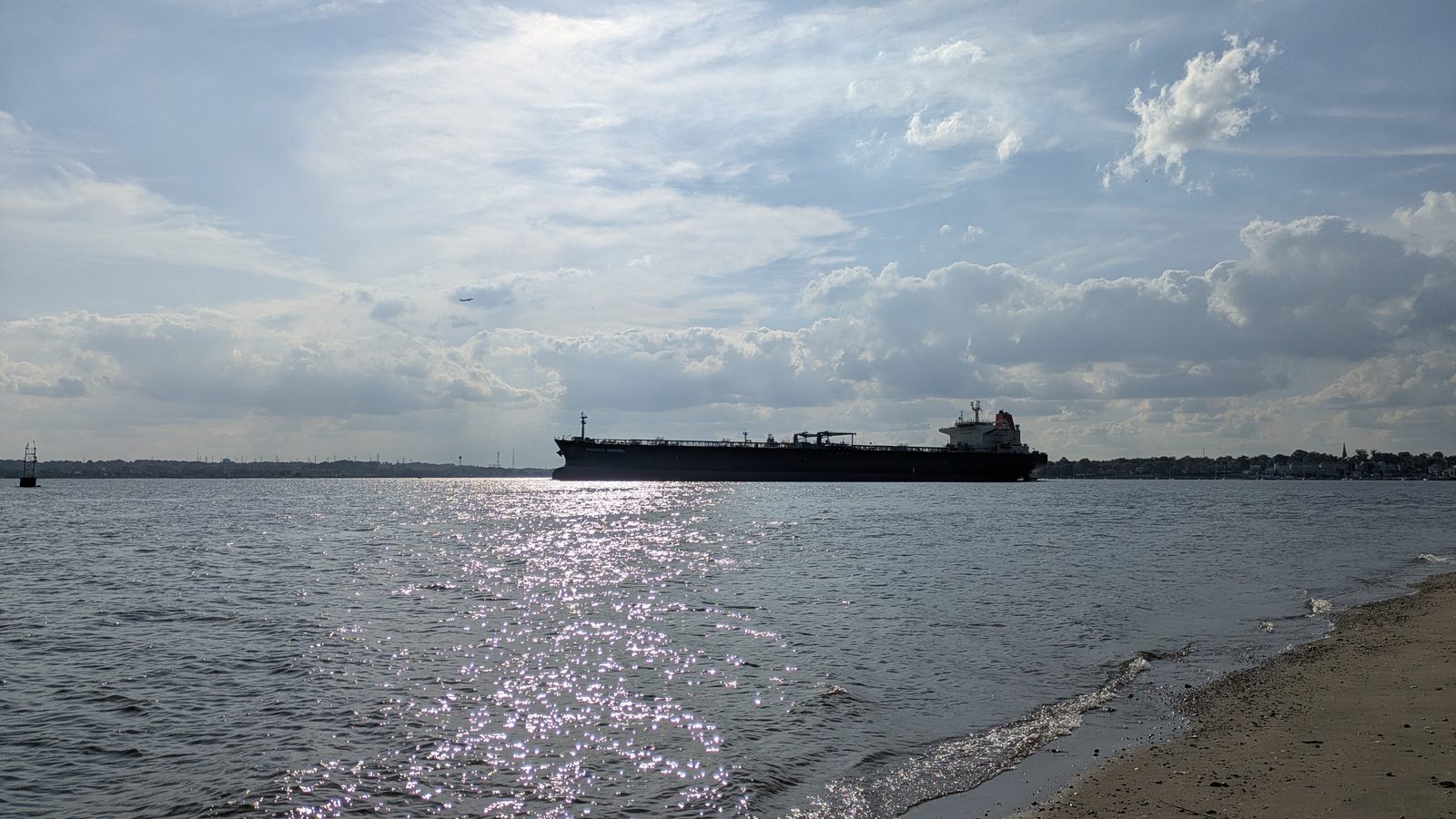
Every photo here was taken by our team on the street in Tottenville. Not stock, not listing photos. If you want to know what a place actually looks like before you drive out to see it, this is it.
Looking at Tottenville?
We can tell you how a block works day to day, and what homes there sell for.